Mountain forecasts are written in a vocabulary lowland weather does not use: freezing level, rain-snow line, wind aloft, foehn effect. Yet those are the words that say whether the week will be good. Our resort pages give the seven-day forecast at the village and at the summit — two altitudes, two forecasts — with the freezing level and the wind. Here is how to read them.
Two altitudes, two weathers
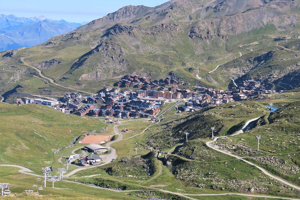
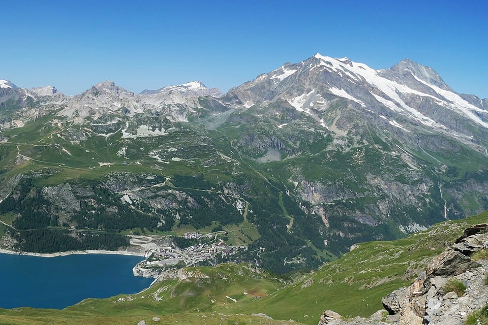
Between the village at 1,300 m and the summit at 2,500 m, there is on average 8 °C of difference — 6.5 °C per 1,000 m in moist air, up to 10 in dry air. It can rain at the bottom and snow at the top, be +5 °C on the terrace and −6 °C on the summit chairlift. A single forecast for the resort means nothing; that is why our pages give two.
The freezing level: where rain becomes snow
The freezing level is the altitude at which the air temperature drops below zero. The rain-snow line is generally 200 to 400 m below it, because a snowflake takes a few hundred metres to melt as it falls through barely positive air.
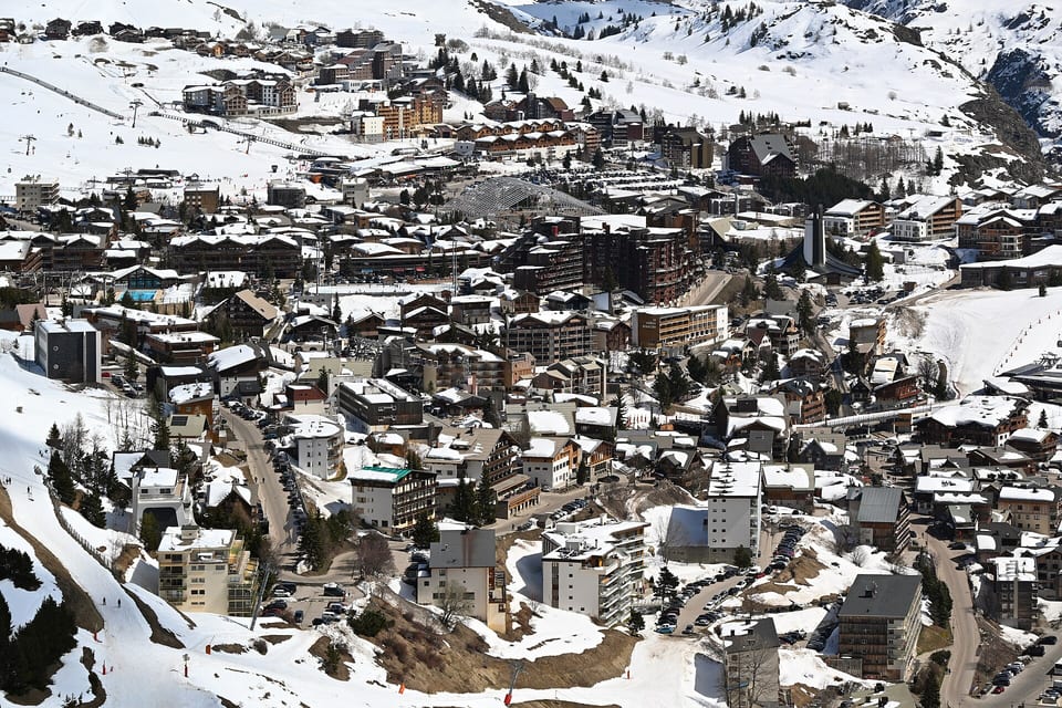
It is the decisive figure of a snowfall. “30 cm of snow, freezing level at 2,500 m” means 30 cm above 2,200 m, rain in the village at 1,500 m, and heavy wet snow in between — the worst scenario for a low area. “15 cm, freezing level at 1,000 m” means snow down to the village and cold light snow everywhere: a better ski day with half the snow.
The freezing level moves fast: it can rise 1,000 m in a few hours with a thaw, and drop again behind a cold front. A fall that starts as rain and ends as snow — the common case of westerly fronts — leaves a layer of snow on an ice crust, and that is the unstable snowpack the avalanche bulletin talks about.
Wind: what closes the lifts
Wind is the first cause of lift closures, well ahead of snow. A chairlift generally closes above 60 to 80 km/h in gusts; a gondola a little above; a cable car above 80 to 100. On fine days with a high-altitude wind, the top of the area closes and the bottom runs.
Wind aloft has nothing to do with the village’s: it commonly doubles, and blows from a direction you do not feel below. Our pages give the maximum wind forecast at the summit; above 60 km/h, plan to ski low in the afternoon.
Wind does something else: it moves snow. A day of strong wind after a fall shifts the snow from windward faces to leeward ones, where it forms slabs — the “wind-drifted snow problem” of the avalanche bulletin, and also what leaves one run stripped and another overloaded a hundred metres apart.
Foehn, sun, fog
The foehn is a warm dry wind that descends one side after dropping its rain on the other: in the Northern Alps, a southerly wind that lifts the freezing level by 1,500 m in a night, eats the snow and closes the lifts. When the forecast says “strong southerly wind aloft and thaw”, that is it.
The sun of March is that of September: the snow on south-facing slopes transforms from late morning. Our measurement of piste aspect, resort by resort, says where the morning skiing is best.
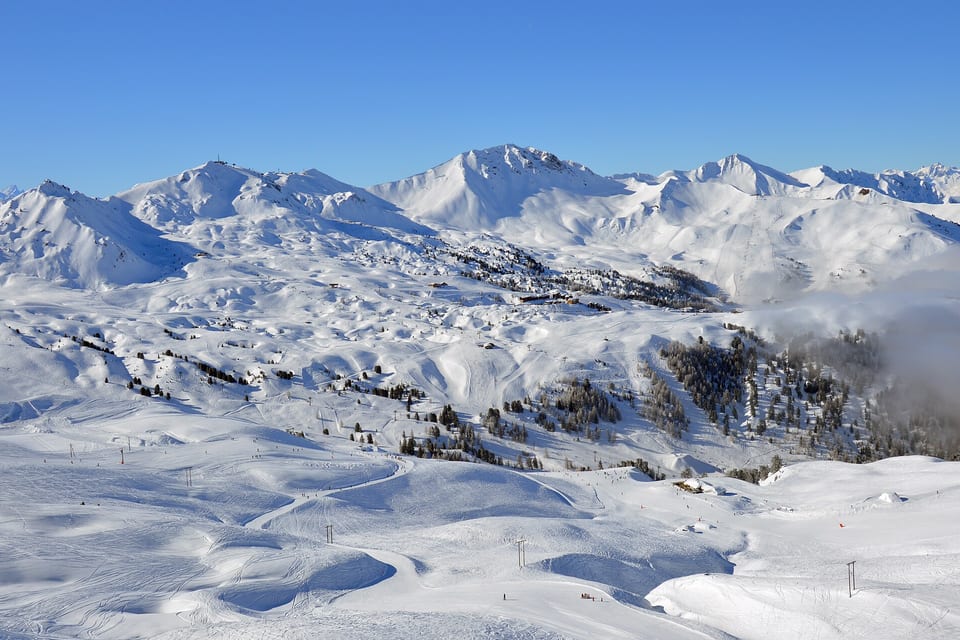
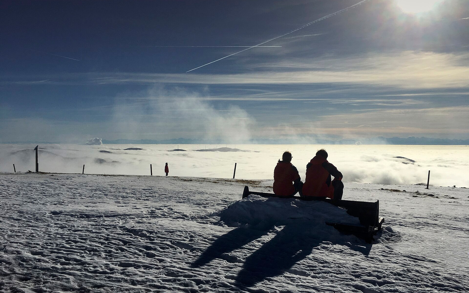
Valley fog below a sea of clouds leaves the top of the area in the sun — the best weather of the winter, provided you go up. Conversely, a cloud stuck on the summit makes the terrain invisible; that is when you need the light goggle lens.
Reading a resort’s page
On each resort’s “weather” page: seven days, two altitudes, maximum and minimum temperature, fresh snow expected at the summit, maximum wind, the freezing level at midday. All recomputed every hour from the Météo-France and European Centre models. And during the season, the observation station matched to the resort gives what it actually measures — the previous hour’s temperature, wind and snow on the ground — for 218 resorts. A forecast is read next to an observation: the gap between the two says how much to trust it.