Every day of the season, around 4 pm, Météo-France publishes for each of the 35 ranges of the Alps, the Pyrenees and Corsica an avalanche danger bulletin. It fits on one page. It is read by a minority of the people who leave the pistes the next day. Here is how to read it, what each level means in practice, and why the number alone is not enough.
The five levels, and what they mean outside
The scale is European, the same from Austria to the Pyrenees.
1 — Low. The snowpack is well bonded. Triggering is possible only on rare very steep slopes, and generally by a large load. It is the level of long spells of cold fine weather, or of late season after refreezing. You go out, with the gear.
2 — Moderate. The snowpack is moderately bonded on some steep slopes, well bonded elsewhere. Triggering by a skier is possible on the slopes the bulletin indicates — and that is where reading begins: the bulletin says which, by aspect and altitude. It is the most common level across a whole season.
3 — Considerable. The snowpack is moderately to poorly bonded on many steep slopes. A single skier can trigger. Spontaneous releases are possible. This is the level that deceives: it sits in the middle of the scale, people read it as “medium”, and it is the one where ANENA counts the most fatal accidents — because at 4 and 5 nobody goes out, and at 3 they still do.
4 — High. The snowpack is poorly bonded on most steep slopes. Triggering likely under low load; many spontaneous releases, sometimes large. Marked itineraries close, valley roads may close. You ski on open pistes, and that is all.
5 — Very high. Widespread instability, large avalanches down to the valley. A few days a decade on a given range. Resorts close all or part of the area, sometimes confine people indoors.
What to read beyond the number
The level summarises; the bulletin details, and the detail is what serves you.
The slopes concerned. The bulletin gives an aspect rose — north, east, south, west — and an altitude above which the danger applies. “Level 3 above 2,200 m on north to east aspects” means that at 1,800 m facing south you are at 2, or even 1. It is the most useful information on the page.
The type of problem. New snow, wind-drifted snow (slabs), a buried weak layer, wet snow, gliding. A wind slab at dawn and wet snow at 3 pm are not managed the same way, and the bulletin says which.
The trend. Tomorrow’s danger, and often the day after’s. A 3 rising to 4 with the forecast storm is not a 3 falling to 2 with the refreeze.
What the bulletin does not replace
The bulletin describes a range of several hundred square kilometres. It does not describe the slope you are looking at. Reading the bulletin is knowing the context; deciding is observing the terrain — accumulations, cracks, “whumpfs”, recent avalanches — and knowing your route.
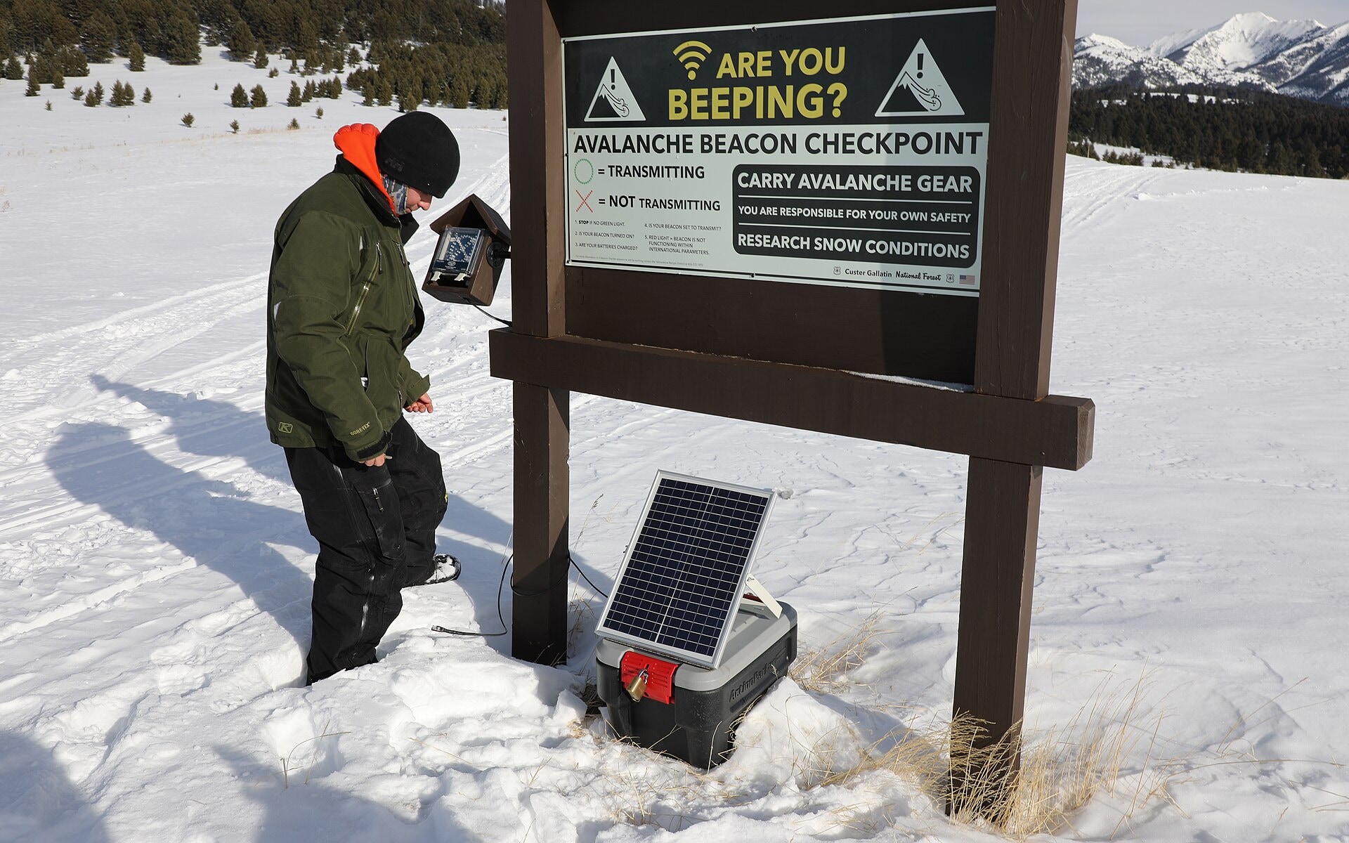
And none of this replaces the gear: avalanche transceiver switched on and tested at the start, shovel and probe in the pack, and a partner who knows how to use them. A transceiver without a shovel is a way to find a body.
On our resort pages
During the season, each resort’s “snow report” page shows the bulletin for its range: the level, the aspects, the altitude, the issue date, and the link to the full bulletin. The resort-to-range matching is geometric — each resort is in one range and one only — and covers 272 resorts. Out of season no bulletin is published, and the page says so rather than showing an old number.