Every resort has “the longest run in the Alps”. The problem is not that resorts lie: it is that nobody measures the same thing. One counts a descent that links three runs, another counts from the top of a cable car to the village by way of a road, a third counts a run that exists one week a year.
We did it differently. Every run mapped on OpenStreetMap has a name, a grade and a course; we join the sections that share the same name and grade, read the altitudes off the IGN national terrain model, and get for each resort its longest run under a single name, with its real vertical drop. The result sometimes disappoints the brochure. It has the merit of being comparable.
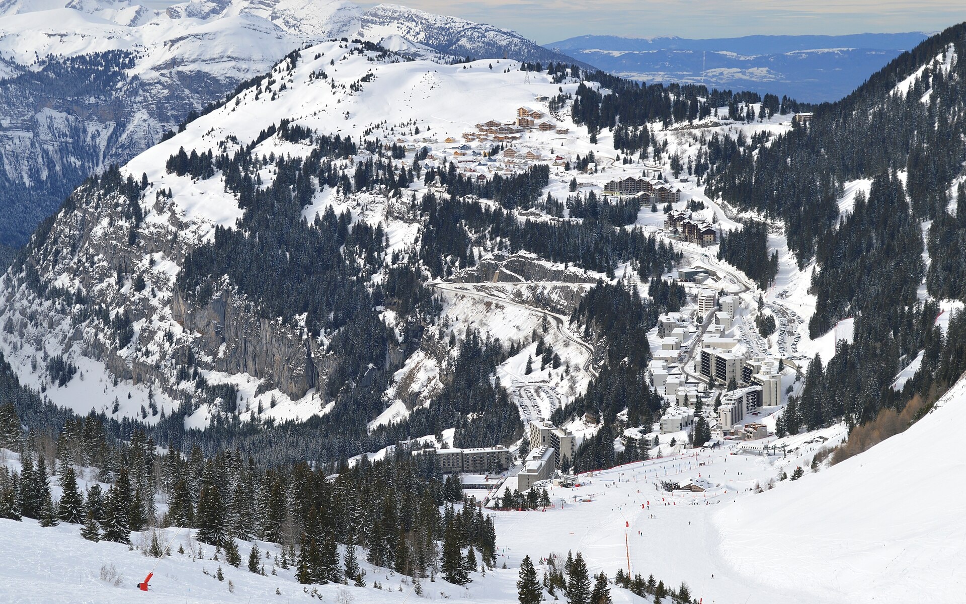
The Cascades, at Flaine: 10.5 km of a single run
It starts from the top of the Grandes Platières, at 2,376 m, and comes down to Sixt-Fer-à-Cheval, at 781 m, at the bottom of the Giffre valley: 10.5 km and 1,594 m of vertical. The resort grades it blue; the OpenStreetMap map classes it red, and that is the grade our tables use — the top of the run, on the plateau, is easy, the end in the gorges less so. It is in any case the longest run in France under a single name.
It is also a textbook case of what “long” means: at the bottom of the run you are no longer in Flaine but in Sixt, and you return by shuttle. All the Grand Massif resorts — Flaine, Les Carroz, Samoëns, Morillon, Sixt — have access to it.
The Tabuc, at Serre Chevalier: 10 km of black run
The second is a very different proposition: 10 km, only 633 m of vertical, and a black grade. The Tabuc winds through the larch forest above Le Monêtier-les-Bains, narrow, sometimes flat, sometimes steep. It is not a speed run, it is a mountain run.
Serre Chevalier also has the longest blue run on the map, a “Chemin” of 12.8 km on the Briançon side — a groomed link path that appears as a run on the map, and that we list for what it is.
The Sarenne, at Alpe d’Huez: the greatest vertical
By vertical rather than length, the ranking changes head. The Sarenne loses 1,657 m between the Pic Blanc, at 3,306 m, and the bottom of the gorges, at 1,649 m, over 8 km: it is the greatest vertical drop of a single-named run in France. Black, long famous for its moguls, it is groomed for part of the season.
Les Deux Alpes offer a descent of the same order from the glacier, and La Plagne from Bellecôte — but by linking several runs, which our measure does not do.
What we measure, and what we do not
We measure the length of a course on the ground, taking the slope into account — not the “flat” length on the map. A section that climbs counts in the length, not in the vertical.
We do not measure what the map does not contain. A run missing from OpenStreetMap does not appear; a run whose sections carry two different names appears as two runs. If your resort is missing, it is almost always the map that is incomplete — and it gets completed.
We do not rank timed speed runs or marked off-piste itineraries, which are not runs in the map’s sense.
The table below is our full ranking of the longest runs, one line per run, with the resort, the grade and the vertical.